GUIDE 1 · 6 PAGES
Terrain design and LLRAW export
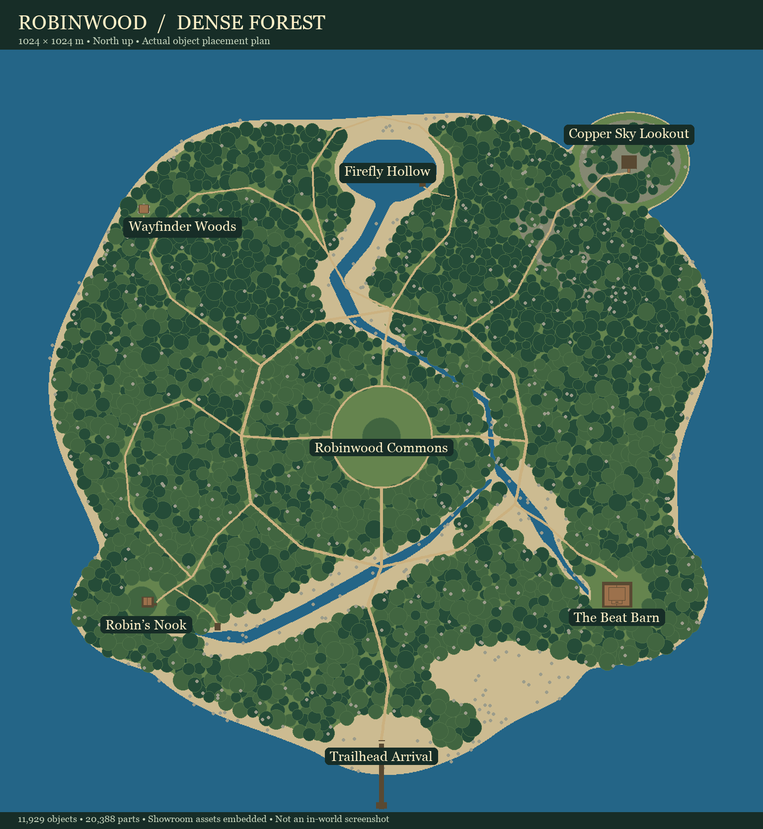
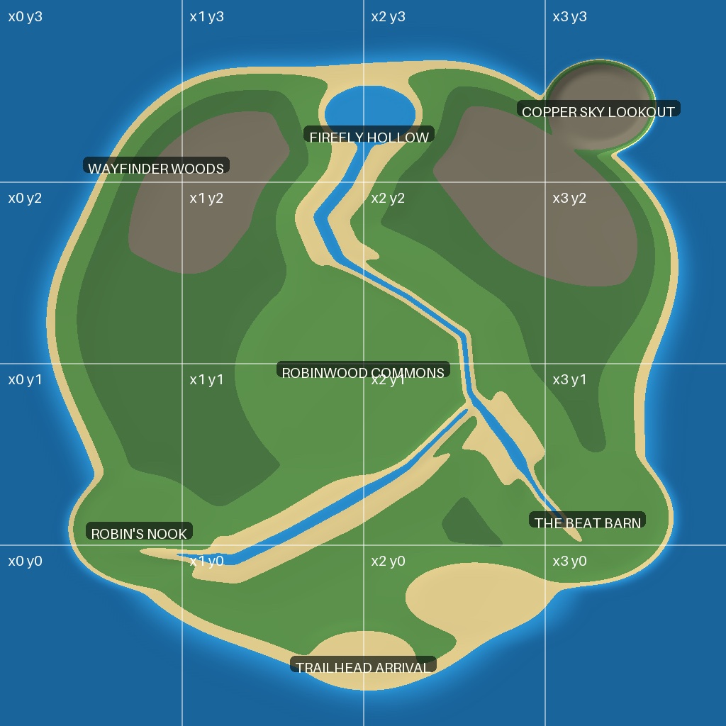
Create a heightfield, preserve meter scale and orientation, encode and verify LLRAW and R32, then test a terrain import.
You end up with: A float master, 13-channel LLRAW, R32 terrain, labeled previews and a manifest recording scale, axes, water and validation.
Companion skill $opensim-terrain-llraw